Ash plumes and seismic readings
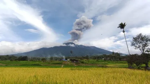
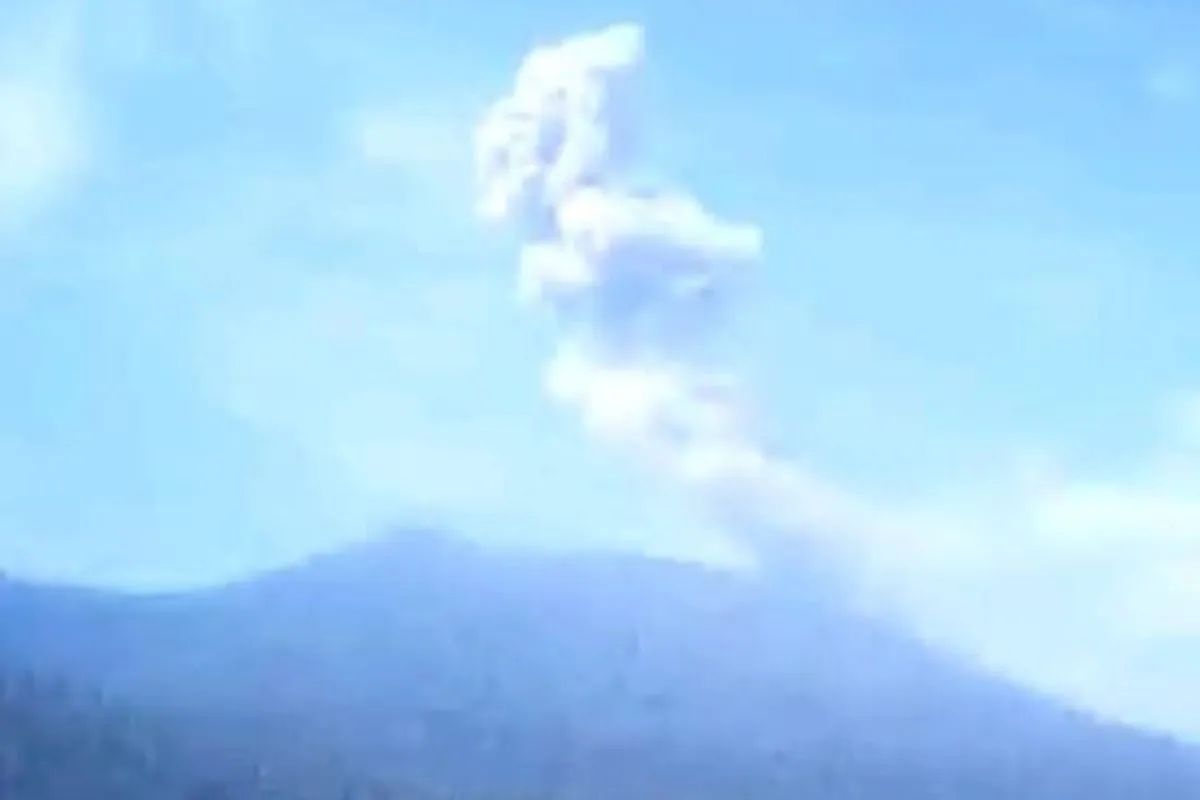
The first eruption began at 9:34 p.m. local time Saturday at Ibu, in North Maluku's West Halmahera district. It lasted 62 seconds, producing a moderately dense gray plume that rose 400 meters (1,312 feet) above the summit, or roughly 1,725 meters above sea level. Instruments measured a maximum seismic amplitude of 28 millimeters.
Semeru, in East Java, erupted at 1:51 a.m. local time Sunday. Its 97-second eruption registered a maximum seismic amplitude of 17 millimeters. Thick gray ash reached 3,876 meters above sea level, rising 200 meters (656 feet) above the peak.
The eruptions followed sustained activity at both mountains. Databoks, citing PVMBG and MAGMA Indonesia, reported 24 eruptions at Ibu in the week preceding November 19, 2026, amid a pattern of near-daily eruptions.
MAGMA Indonesia's reported tally for 2026 stood at 5,711 eruptions nationwide. Semeru accounted for the largest number, with 2,191, followed by Ibu with 2,013.
Different alert levels and restricted areas
Ibu remained at Level II, known as Advisory or Waspada, on Indonesia's four-level volcanic alert scale as of mid-to-late November 2026. According to Databoks (Katadata), citing PVMBG and MAGMA Indonesia, all activity was prohibited within 2 km of the crater, with the exclusion zone extending 3.5 km north toward the active crater opening.
Semeru remained at Level III (Siaga) in November. RRI (Voice of Indonesia) reported that PVMBG restrictions prohibited activity within 5 km of the crater or summit and within 13 km of the summit to the southeast along the Besuk Kobokan drainage.
The Semeru restrictions also covered land within 500 meters of the Besuk Kobokan riverbanks, where pyroclastic flows and lahars could travel as far as 17 km from the summit.
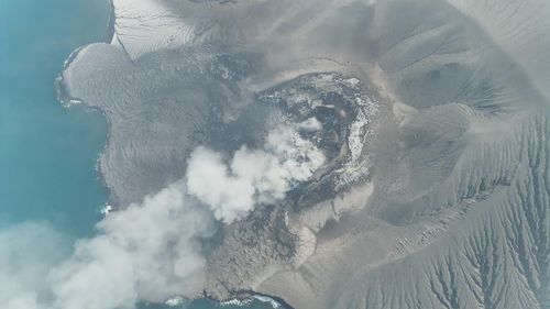
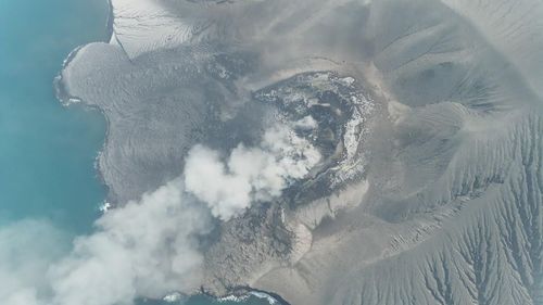
Earlier, on November 17, Indonesia's National Disaster Management Agency (BNPB) had urged people to stay clear of danger zones at three Level III volcanoes, according to Kompas.com. The warning covered Semeru, Anak Krakatau in the Sunda Strait and Merapi on the Central Java/Yogyakarta border. BNPB reiterated a climbing ban and cited PVMBG's recommended exclusion radii of 5 km at Anak Krakatau and Semeru and 3 km at Merapi.
Following the overnight eruptions, authorities also advised local governments and disaster response agencies to track volcanic activity through official updates from the Center for Volcanology and Geological Hazard Mitigation (PVMBG).
Semeru's deadly 2021 eruption
Semeru's deadliest recent event occurred on December 4, 2021, according to VolcanoDB, which cites Wikipedia, NASA Earth Observatory and UN ReliefWeb. Heavy rain caused the summit lava dome to collapse. Pyroclastic flows traveled up to 4 km down the mountain, while lahars, or volcanic mudflows, traveled more than 13 km through the Besuk Kobokan valley.
At least 51 people died, most of them in the lahars. More than 100 people were injured, and over 5,200 homes were damaged.