Hotspot findings await verification
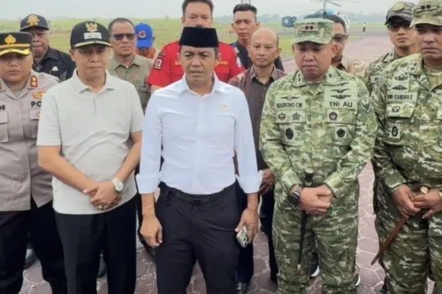
Sianturi disclosed the suspected involvement at a press conference at the Coordinating Ministry for Political, Legal and Security Affairs (Kemenko Polkam), Antara reported. The briefing followed a ministerial-level meeting in Jakarta to evaluate Forest Utilization Business Permits (PBPH) and holders of Hak Guna Usaha (HGU), according to Tribunnews.
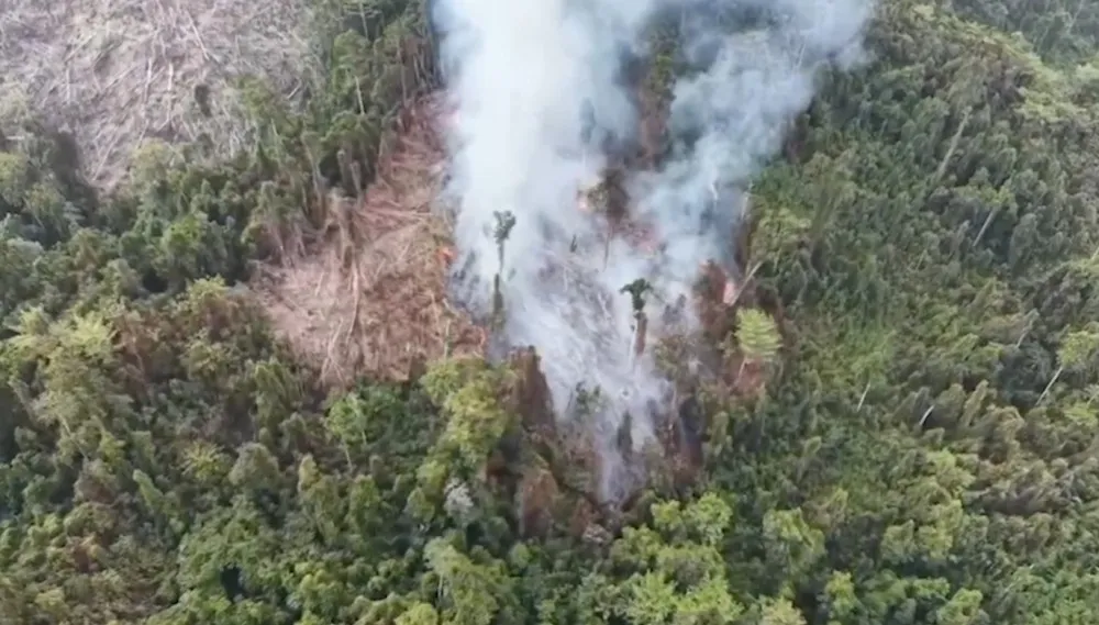
BNPB's preliminary hotspot mapping included concession areas belonging to PT Merauke Sarjaya and PT Selaras Inti Semesta, Kompas.tv reported. The agency said field inspections were still needed to establish actual conditions and determine what follow-up action falls within each agency's authority.
Authorities asked to check the cause of fires
In a November 4 letter to South Papua's governor, BNPB requested clarification and verification of the fire hotspots in its records. It asked the regional government to coordinate with relevant local authorities, including TNI and Polri, to conduct on-site checks into whether land clearing or other causes were responsible.
Kompas.tv reported that the field verification also follows a letter sent to the governor on November 4 by Forestry Minister Raja Juli Antoni, who sought clarification of land conditions in South Papua.
Two aircraft deployed to encourage rainfall
South Papua had Indonesia's largest area affected by forest and land fires in data covering January 1 through September 1, 2026, according to deforestation monitoring site Nusantara Atlas. The affected area reached 319,000 hectares, Katadata reported.
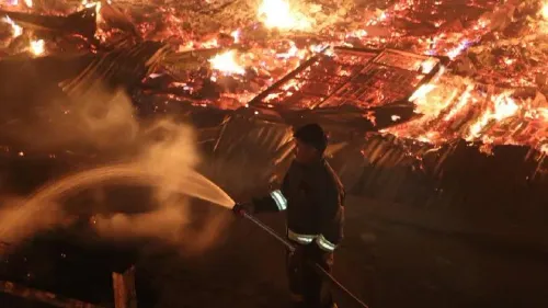
Weather modification operations (OMC) to fight the fires remained underway in South Papua as of November 9, with two Cessna aircraft in use, according to Katadata and Tribunnews. BNPB said the aircraft were deployed to trigger rainfall to help bring the fires under control.