Nationwide fire counts fall
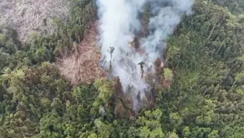
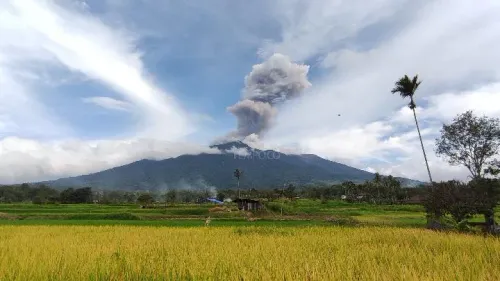
BNPB's monitoring recorded 2,733 hotspots across Indonesia at 5 p.m. Western Indonesian Time on November 7, including 928 classified as active fires. Berton SP Panjaitan, acting head of the agency's Center for Disaster Data, Information, and Communication, provided the figures to detikNews.
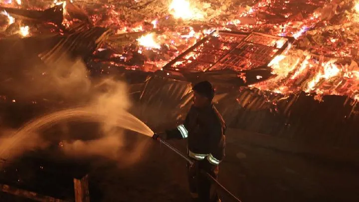
"An estimated 1,430 hectares of land remain on fire and require intervention," Berton said on November 8.
The latest totals were below those reported on November 5, when the agency counted 4,737 hotspots and 1,962 active fires, with 5,191 hectares still burning. BNPB is also watching fire conditions in Southeast Sulawesi, East Kalimantan, and Central Sulawesi.
South Papua remains under emergency status
South Papua accounted for 396 hotspots in the November 7 update, more than any other province. Berton put the area still burning there at an estimated 362 hectares.
The province's official wildfire emergency status was scheduled to remain in force until November 28. The Jakarta Post, citing the Forestry Ministry's SiPongi monitoring system, reported that the status remained in place in early November even as conditions improved in other fire-prone provinces.
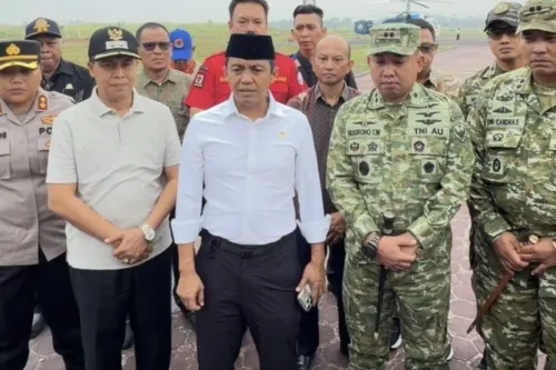
An October 31 aerial inspection by BNPB head Lt. Gen. Kristomei Sianturi and BMKG head Teuku Faisal found continuing smoke plumes and concentrations of hotspots in Merauke Regency, Tempo reported. The affected locations included the Jago Merah-Tanah Miring cluster, covering Jago Merah, Tanah Miring, Animha, and Semangga, as well as Okaba. High concentrations were also found within a private palm oil plantation concession.
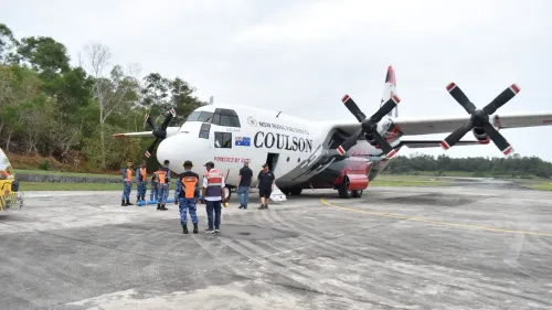
The government extended its Weather Modification Operations, or cloud seeding, through November 5 to combat the South Papua fires, according to BNPB and BMKG statements reported by Tempo. Crews flew 13 sorties during the initial phase, using 13,000 kilograms of sodium chloride.
Land clearing near the Papua New Guinea border presents another challenge, according to Arif Hasan, head of Section II of Indonesia's Maluku-Papua Forest Fire Control Agency. He told Tempo that smallholders had cleared extensive areas and would likely burn much of the vegetation, requiring education and coordination with regional agencies.
Central Kalimantan's fires and firefighting losses
Central Kalimantan had 382 hectares still burning on November 7, the largest provincial total. BNPB recorded 364 hotspots there, including 241 active fires.
The province had experienced a sharp increase earlier in the week. Kompas, citing Berton, reported 821 hotspots as of November 5, up 93 percent from the previous day. The area being addressed had reached 1,641 hectares, an increase of 147 percent.
A firefighting mission in the province also ended in a fatal crash. Three Indonesian Army (TNI AD) soldiers died on November 4 when their Mi-17V5 helicopter went down in waters near Sungai Perlu village in Seruyan District, Kompas reported. They were on a mission to combat forest fires in Tanjung Puting National Park.
Preparations for floods and landslides
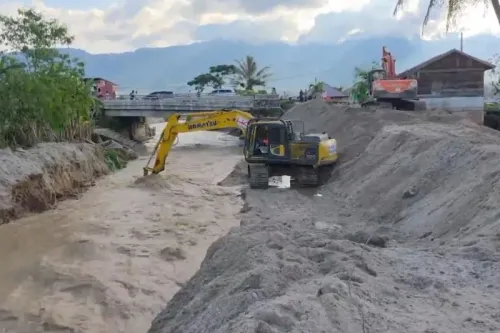
BNPB is preparing for floods and landslides alongside its continuing response to forest and land fires. Berton said the agency was paying particular attention to previously burned areas with hydrological vulnerabilities as the year-end rainy season approached.
BMKG forecast that the rainy season would begin across most of Indonesia between November and December 2026, The Jakarta Post reported. The ongoing El Niño could, however, push the seasonal peak into 2027. BNPB urged residents nationwide to prepare for weather- and water-related disasters, including flash floods and landslides.